1Move the chart
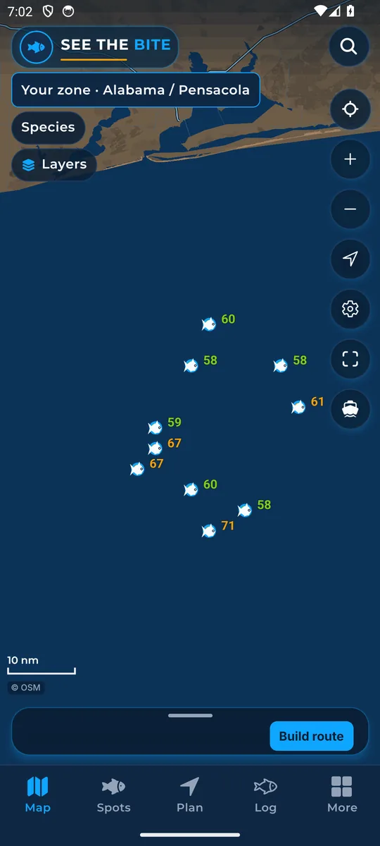
Drag one finger to pan. Pinch two fingers to zoom. Pull down on the trip sheet, Spots, Plan, Log, or More to refresh the water.

The same walk-through as the tour inside the app: 67 short steps in 6 sections. Read it before your first trip, or keep it open next to the app.
Same steps as the app
In the app, the tour starts by itself the first time. Tap Done or Skip and the phone remembers. You can start it again any time from More → Replay tour.
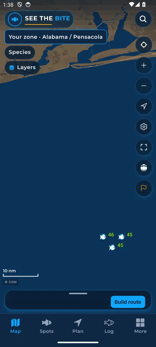
Pan, tap, search, and the buttons on the chart.
Drag one finger to pan. Pinch two fingers to zoom. Pull down on the trip sheet, Spots, Plan, Log, or More to refresh the water.
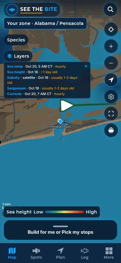
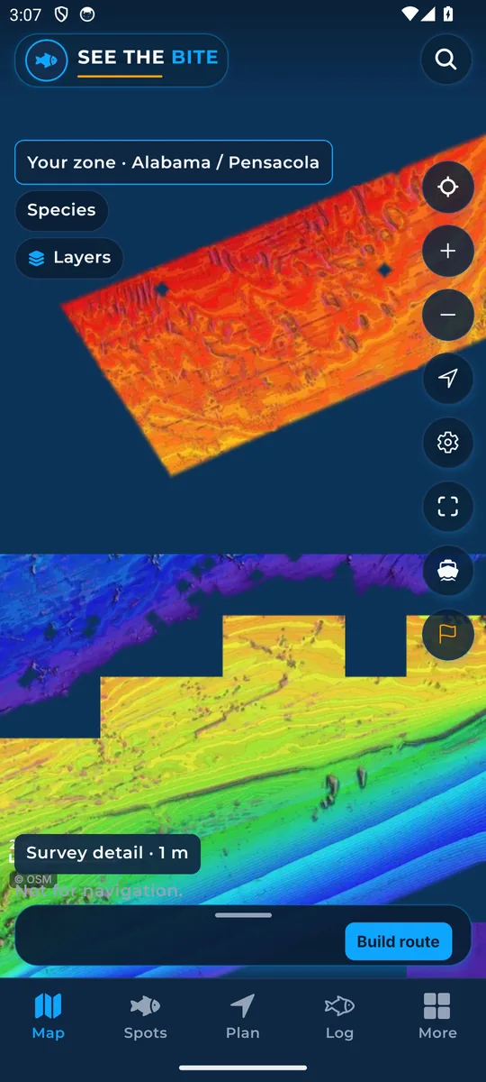
Tap empty water. A degrees-and-minutes line shows under the top bar, and a small card lists the readings there. When clouds block a reading, the card can show cloud covered. Without a timestamp, it says time unknown. Dragging does not open the card.
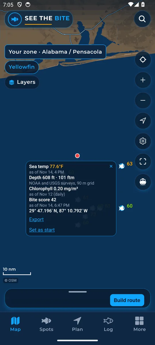
The bottom bar switches screens. Tap Map, Spots, Plan, Log, or More.
Tap Search spots. Type a shelf, ledge, or fathom, then tap a name to open it.
This chip is the coast a trip stays inside. If GPS is on another coast within launch coverage, a travel card can offer Download as an extra. Tap Close on that card. Home does not change.
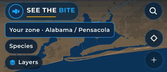
Tap Species. Tap a fish to turn it on, and tap it again to turn it off. Nothing is selected until you tap. Scores then follow those fish. At launch, See The Bite scores yellowfin tuna, blackfin tuna, mahi, wahoo, sailfish and blue marlin throughout its offshore coverage from Texas around Florida and the Keys up the East Coast to New England.
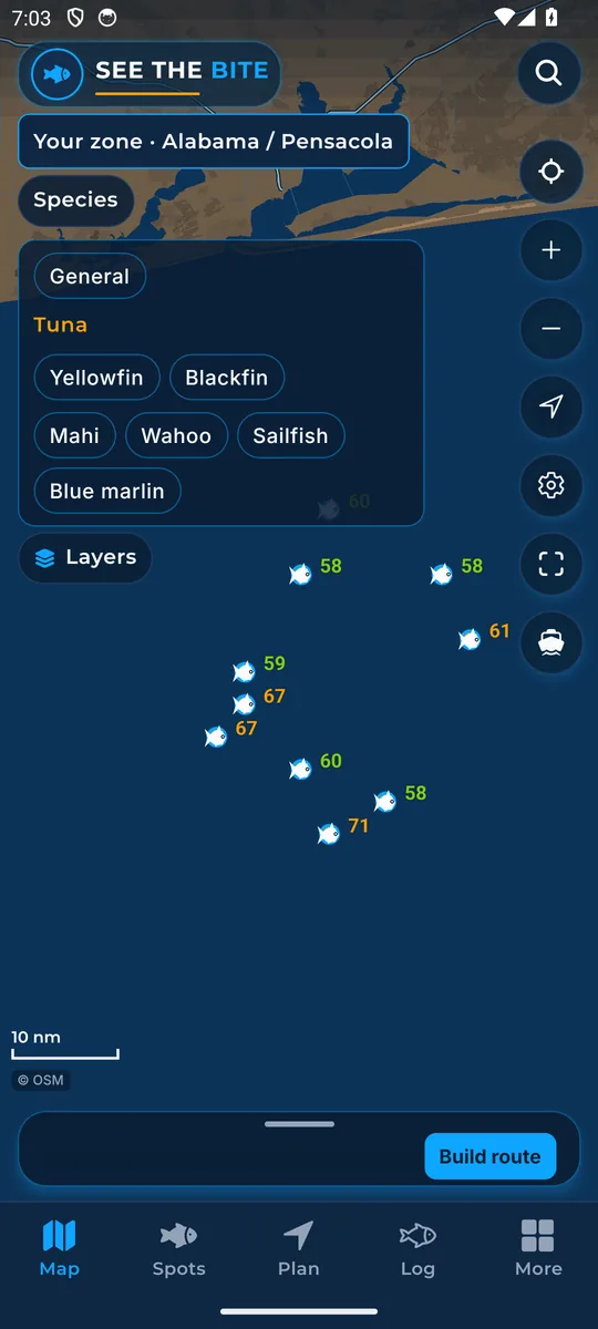
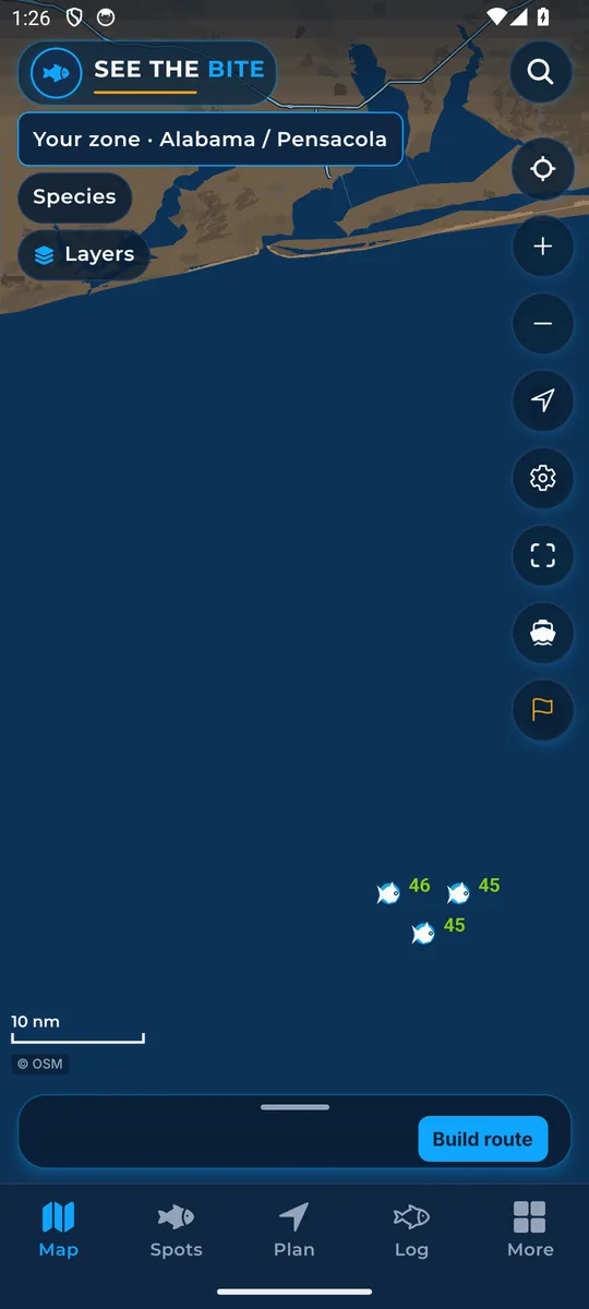
On the right: tap Zoom in, Zoom out, Center on the chart, Show where I am, Settings, Show all, and Recenter on the start. The flag, when it shows, opens the sea note in the trip sheet. Tap © OSM for the map credit. With the NOAA chart on, that credit includes NOAA.
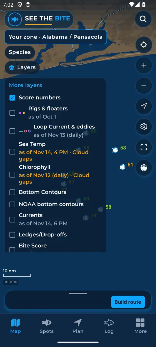
Every layer, the legend, and the sea-temp range.
Tap Layers to open this list. Tap a checkbox to turn that layer on or off. The list stays open while you do that. Tap Layers again to close it.
Rigs & floaters draws platforms and floating gear. Tap the checkbox to show or hide them. The same switch is in More layers.
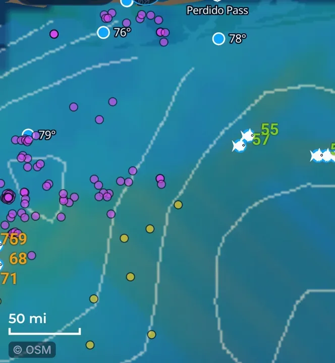
Loop Current & eddies draws the front and the eddy rings. Tap the checkbox. It turns on only itself. Sea height is its own row.
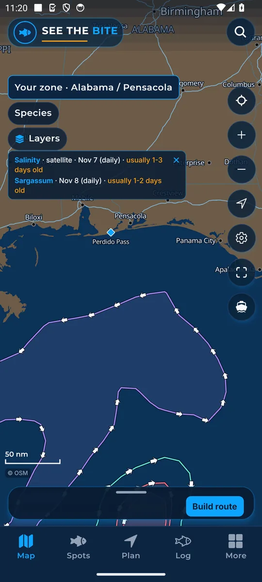
Sea Temp paints the hourly temperature field. Tap the checkbox. It shares one picture with bite heat and chlorophyll, so turning it on replaces those.
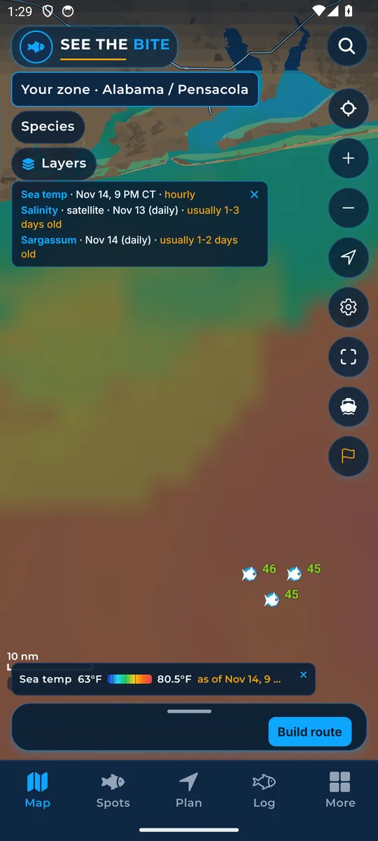
Chlorophyll paints water color. Tap the checkbox. Under More layers the same switch is named Chlorophyll / water color. It uses the same picture as sea temperature, so the other color field turns off.
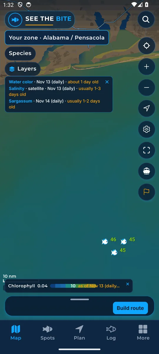
Easy is the default. It shows clean blue water and green water, with a sharp edge at the clean-water break. That edge is where to look. Detailed shows the full range. Tap for the exact number. Switch from the Chlorophyll row in Layers or the on-map strip.
Bottom Contours draws the depth lines. Tap the checkbox. Under More layers the same switch is named Depth contours.
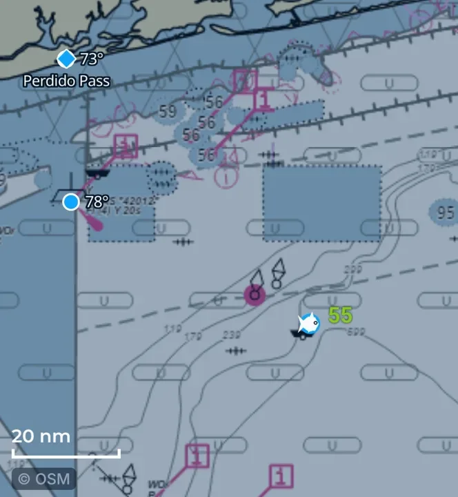
NOAA bottom contours is the chart under the water. Tap the checkbox. It is separate from the depth lines.
Currents draws arrows showing which way the water is running, sized to the zoom. Tap the checkbox. It is the same switch as Currents under More layers.
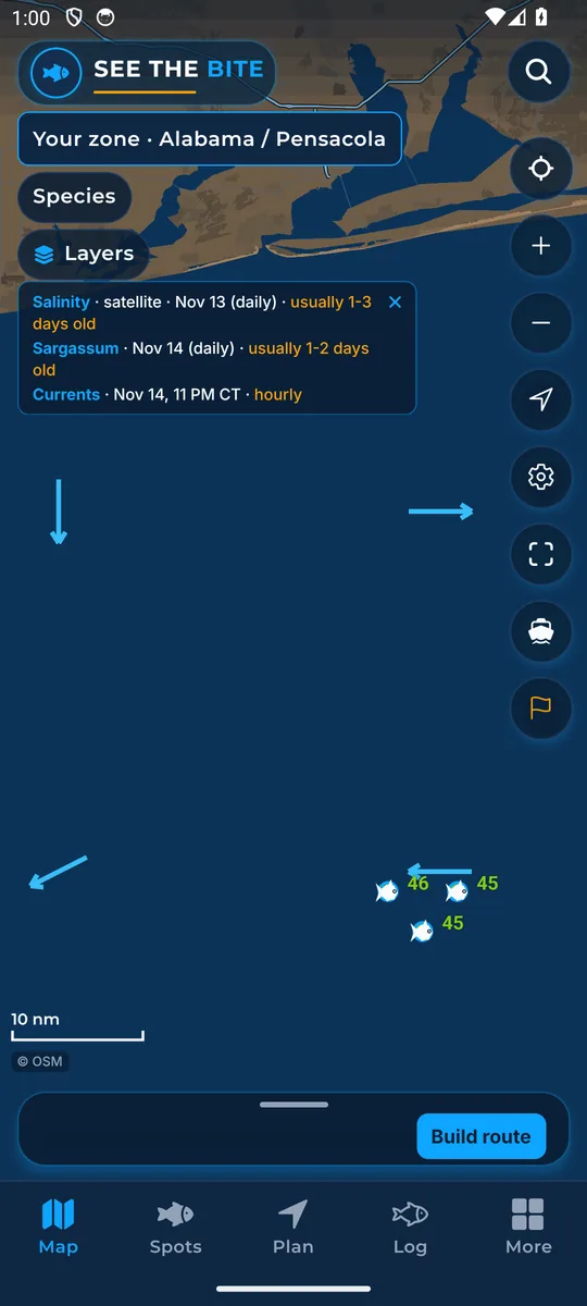
Ledges/Drop-offs marks the steep bottom. Tap the checkbox. Under More layers the same switch is named Bathymetry ledges.
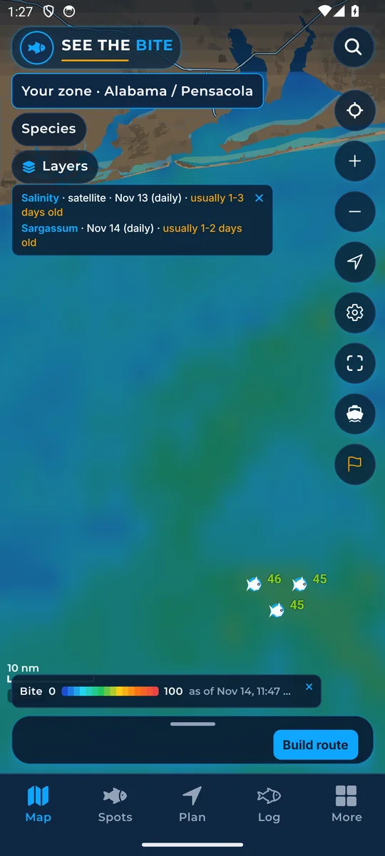
Bite Score paints the 0 to 100 field. Tap the checkbox. Under More layers the same switch is named Bite score heat. The number on a spot is unchanged. This only swaps the color picture.
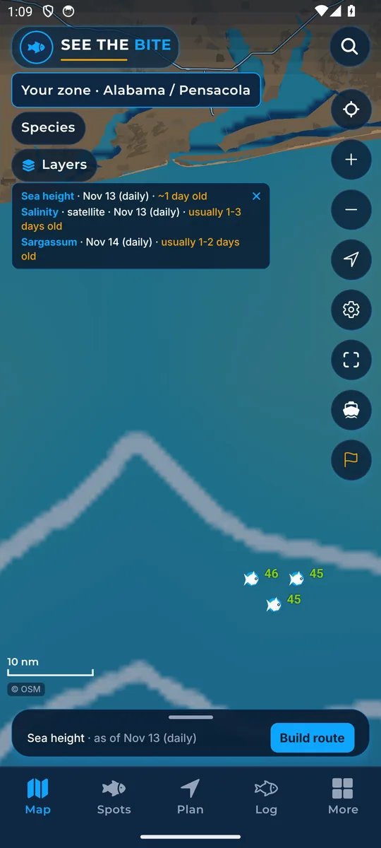
Sea height (altimetry) is its own picture. Tap the checkbox. It does not replace the temperature field.
Tap More layers for the rest of the switches, the color key, and the temperature slider. Tap Close layers to leave that sheet.
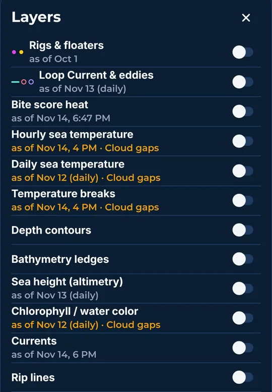
Hourly sea temperature is the latest satellite field. Tap the switch. Daily, bite heat, and chlorophyll turn off because they share that picture.
Picture: see step 11 above.
Daily sea temperature is the day view. Tap the switch. Hourly turns off, since both cannot paint at once.
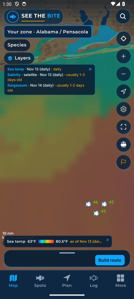
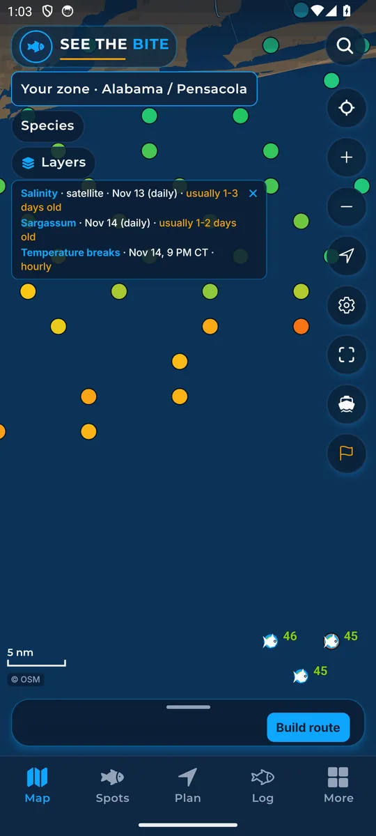
Temperature breaks marks sharp edges. Tap the switch. Their colors follow the sea-temp range you set.
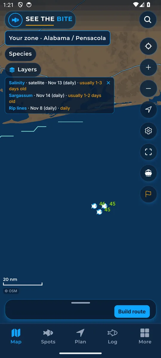
Rip lines mark where the surface water is pulling apart fastest, which is where a weed line or a slick usually forms. Tap the switch. Thicker lines mean a stronger edge.
Bait Traps are the places where a rip line comes close to steep bottom. Tap the switch. Bigger dots mean a closer match.
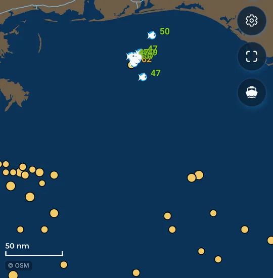
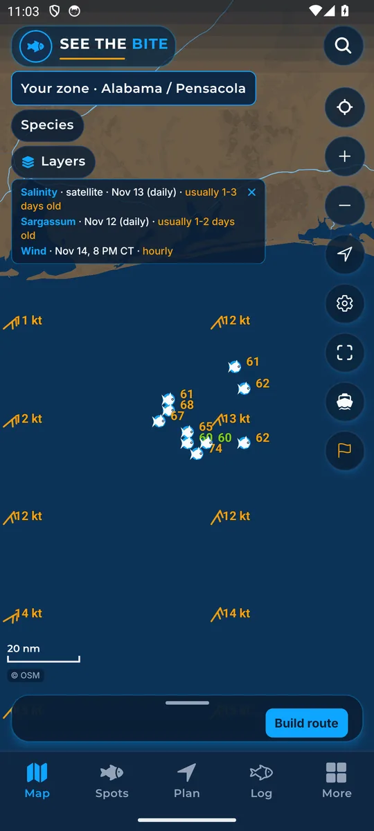
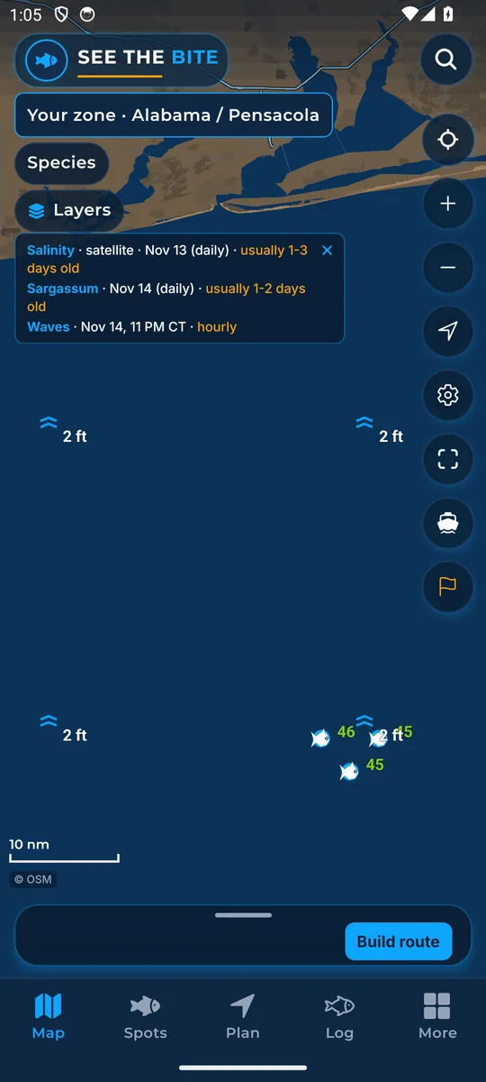
Buoy water temperatures shows station readings. Tap the switch to show or hide them.
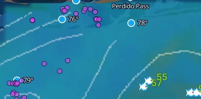
The fish marks show suggested fishing spots. There is no switch to hide them.
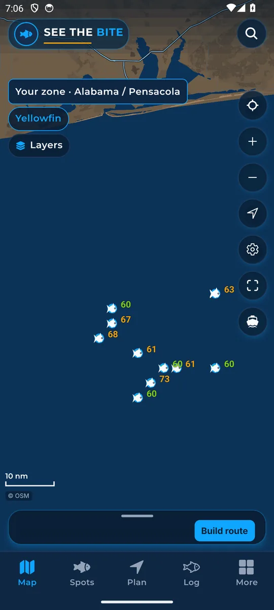
Trip route draws the line on the chart. Tap the switch to show or hide it. The plan itself stays.
Score numbers prints the 0 to 100 value on each mark. It starts on, at the top of the first Layers box. Tap the switch to hide or show the digits.
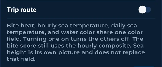
This note is the rule: bite heat, hourly sea temperature, daily sea temperature, and water color share one color field. The key under the list names each mark that is on.
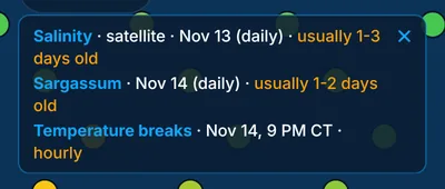
Each feed that is on shows its as-of time here. Older data and Cloud gaps use the warning color. Tap the × on the card to hide it. Tap the calendar beside Layers to show it again. Sea conditions at the bottom of the list use the same kind of time.
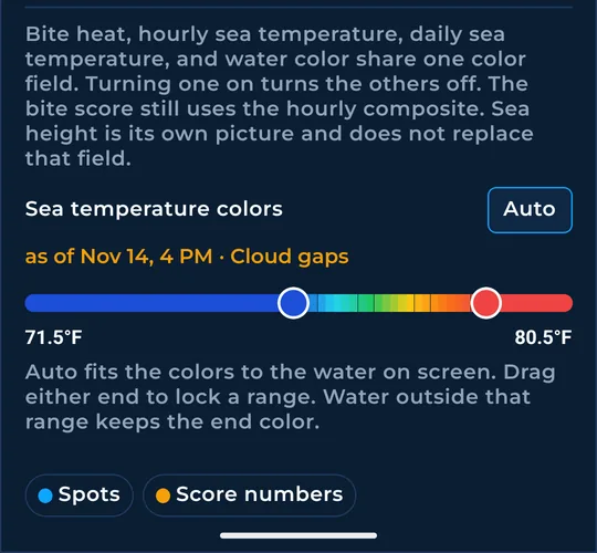
Drag either end to lock a low and a high. Steps are half a degree. The numbers sit on the bar. Tap Auto to fit the water on screen again. Water outside the range keeps the end color. With sea height off, Sea temp colors sits on the chart and works the same way.
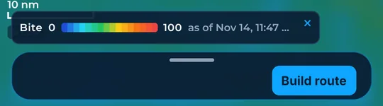
This strip is the sea-height scale from low to high, with its as-of line. Tap Close legend, the ×, to tuck it into the trip sheet. Bite heat and chlorophyll use that same strip and the same ×.
Fish, rigs, pins, and the spots you save.
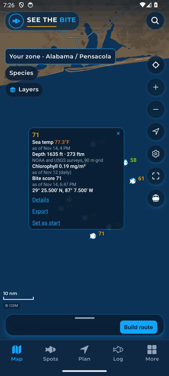
Tap a fish mark. The card shows the position and the bite score. Tap Details to open the spot. Tap Export on the card for that one point. Tap Close to dismiss it.
Tap a rig or floater. The card shows your nickname for the rig if you saved one. Otherwise, it shows the rig’s official name. The card shows that rig's score for the fish you picked. If a fish mark is right next to a rig, a tap picks the fish.
Press and hold empty water to drop a pin. The red dot stays. On its card, tap Set as start, type a name, then tap Save. Tap Cancel to leave the name field. Tap Close when you are done.
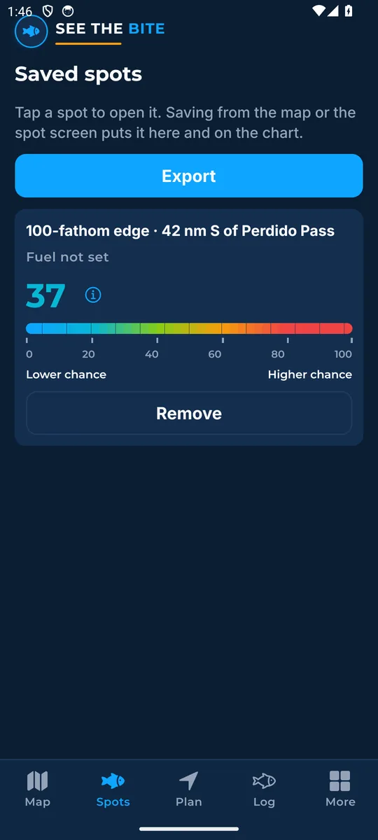
Spots keeps marks saved on this phone. Tap a name to open it. Tap Remove to delete it here. Tap Export to share them as one GPX file. An empty list sends you to the map.
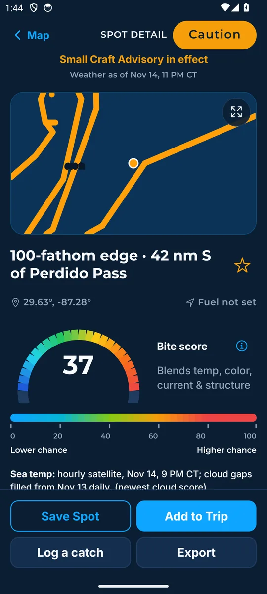
Tap Save Spot to keep it on this phone. Tap Saved to take it off. Tap Add to Trip to open Plan. Tap Log a catch to store the fish with the water from this moment. Tap Export to send this spot as GPX. Above, read Sea Temp, Current, Depth, and Structure, tap the bite score for the explanation, then tap Close. Tap Open the map full screen, then Show all or Recenter on spot, then Close the map. Tap Back to the map to leave.
Build a route, edit the stops, and open a run.
Tap Build route, or drag the sheet up, to open the trip. Drag the sheet down, or tap the bar, to close it. Pull down inside it to refresh.
Tap Build for me to let the phone order stops. Tap Pick my stops, then tap fish in the order you want and tap a number again to remove it. Check Include rigs to add platforms. Then tap Best score or Rigs first. Tap Reset route, then Reset, to clear the stops. Tap the score bar to open Bite score. That page explains what the 0 to 100 number means for that spot and how fresh the water is. Tap Close to leave it.
Plan shows distance, run time, fuel, and the clock. Tap Start, Boat, Fuel on board or Fuel to use, Trip length, or Depart to edit them. On Depart, tap 15 minutes earlier or 15 minutes later. Tap a stop to open it. Move stop up and Move stop down change the order. Set minutes and Bottom, Troll, or Anchor on the stop. Tap + Add Spot to return to the map. Tap Export for the route file, and About Export for the plotter note. Tap Save this spot or Log a catch here when a spot is open. Tap Back to the best run that fits to clear a hand-picked spot. Tap Back to the map to leave Plan. While a trip is running, the deck adds Arrived, Finished, Head in, Fuel check, and End trip. Fuel check asks for gallons left, then Use this reading or Done.
The sheet's main button is Plan a trip, Open this spot, or See the fuel math, depending on your fuel. If nothing is ready, the button is Update water. The colored pill repeats the sea call and opens the spot. Next shows bearing and ETA when the phone has a fix.
The boat dot, GPX, the boat, and a start.
Tap Show where I am. Allow location to drop your boat on the chart. The bow points along your course while you are moving, and the dot has no bow when you are stopped. Bearing and ETA for the next stop use that fix, or cruise speed if you are slow. Tap Not now to leave the prompt.
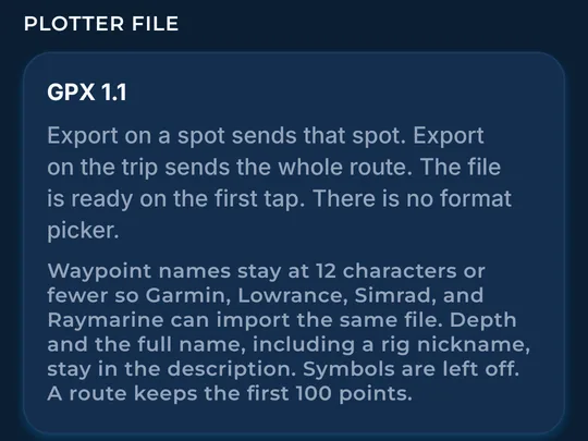
Tap Export on the trip once it has stops. The share sheet lets you pick Garmin ActiveCaptain, a Simrad or other plotter app, or Files for an SD card. The same Export is on a pin, a spot, saved spots, and Plan. Names stay short for the plotter. The full name, including a nickname, is in the description.
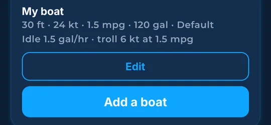
Edit the name, length, cruise, burn, tank, reserve, idle, and troll. Tap Use one-third of the tank for the reserve. Set Caution seas, Rough seas warning, Caution wind, and High wind warning. Tap Save boat. Tap Cancel to leave without saving.
Tap Use my GPS location, then Allow location and use it. Or tap Drop a pin on the map, Type coordinates, or Pick a port. Tap Save start to store it. The switch chooses whether this becomes the default start.
More, downloads, units, and the catch log.
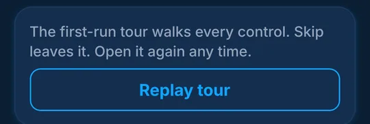
At the end of the app tour, tap Done or Skip. Your phone remembers your choice. Tap Replay tour any time to start again from the chart.
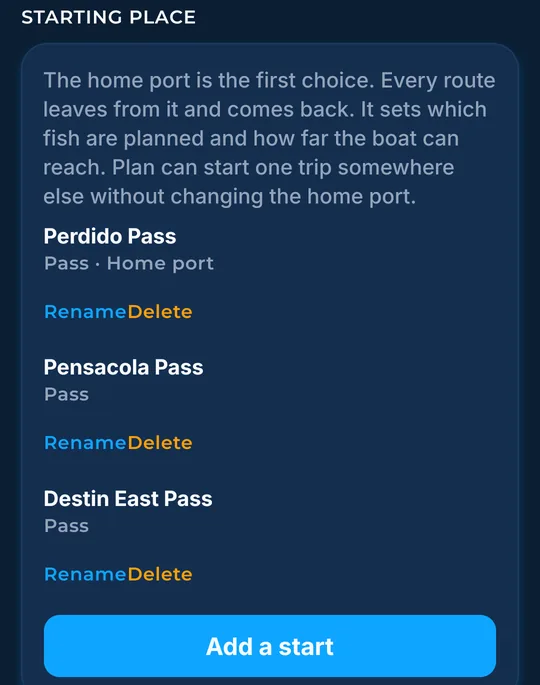
Tap a start to make it the home port. Tap Rename, edit the name, then tap Save name. Tap Cancel to leave the name. Tap Delete to remove an extra start. Tap Add a start for the GPS, pin, typed, or port choices.
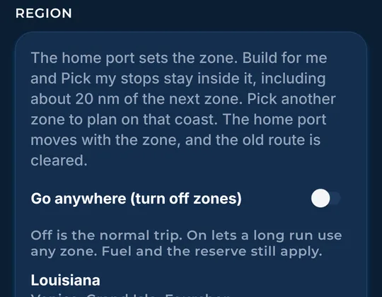
Tap Go anywhere (turn off zones) to let a long run leave the home coast. Fuel and the reserve still apply. Pick an available zone to plan on that coast. The home port moves with it.
Tap Change home region to pick a coast. Tap Manage downloads to see what is already on this phone.
Pick an available coast to make it home. Back returns to More.
Home stays on the phone. Tap Remove on an extra region to drop it. An extra that sits unused is removed after 14 days. All launch regions are available to select.
Search a port, then tap the name to make it home. The zone follows that port.
These switches match the map. Tap Sea temperature, Bottom contours, Currents, Ledges / drop-offs, Score numbers, Chlorophyll shading, Wind, or Waves.
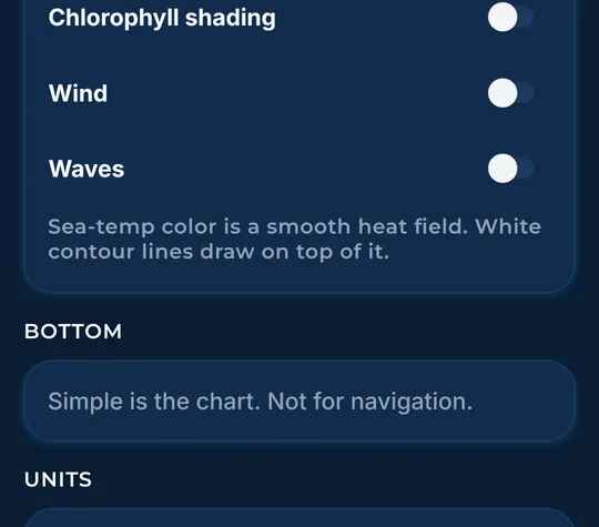
Simple is the chart. Tap Detailed, when this phone has it, for shaded relief. Tap Download detail for this trip to fetch that relief.
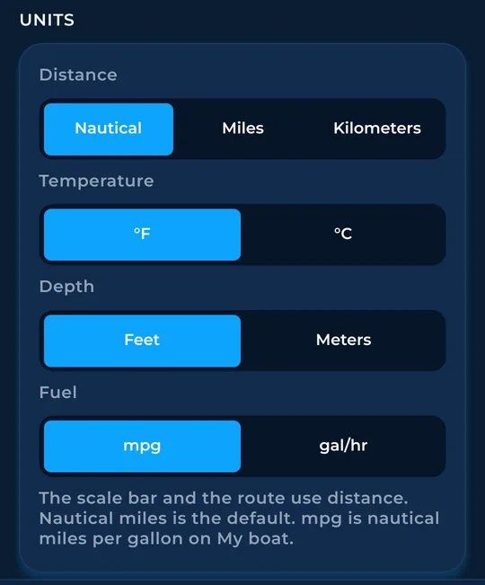
Tap Nautical, Miles, or Kilometers. Tap °F or °C, and Feet or Meters. Tap mpg or gal/hr for the burn.
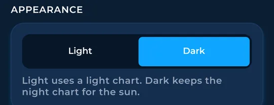
Tap Light or Dark. Light uses a light chart. Dark keeps the night chart.
This card is the water saved on the phone. Tap Refresh ocean copy to fetch again.
Tap a boat to make it the default. Tap Edit to change it. Tap Remove to delete an extra boat. Tap Add a boat.
The GPX note explains the plotter file. Names stay at 12 characters or fewer. The full name, including a nickname, stays in the description. A route keeps the first 100 points.
Tap View acknowledgement to read the safety page saved on this phone.
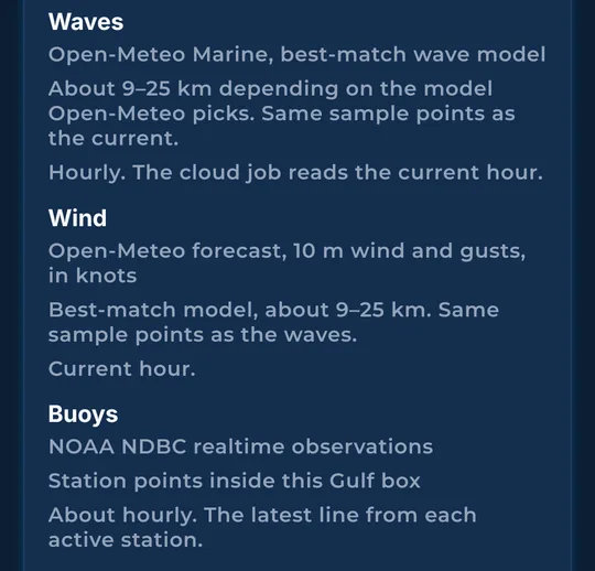
Sources include NOAA hourly satellite sea temperature (typically 2 to 6 hours old), NOAA’s daily temperature blend and CoastWatch daily current analysis, NOAA National Data Buoy Center observations (usually hourly), Open-Meteo hourly wind and marine forecasts, and U.S. Bureau of Ocean Energy Management (BOEM) platform records. Bottom data combines NOAA hydrographic surveys and coastal grids, USGS CoNED, and BOEM’s deepwater grid. Platform and bottom data reflect the source release or survey date.
Tap Rate the app to leave a rating. Tap Feedback / Support to send a note.
Tap Log a catch, the + on this screen. Pick the fish, or tap More fish and Other fish, then type a species name. Tap Save catch. Tap Add details for the count, time, length, weight, photos, and gear. Tap Kept or Released. Tap 1 hr earlier or 1 hr later. Tap Cancel to leave. On a card, tap More, then Delete this entry. Tap a photo to open it.
Tap the version line, then Check for updates. Tap Share the catch file when the log has entries. An empty log says Log a catch first.
Founders get the first year for $80. See ordering or give a year as a gift.
See The Bite is coming to the App Store and Google Play. The store links are not live yet.