
Export GPX to your plotter
Send a spot, your saved spots, or the first 100 points of a route to Garmin, Simrad and other plotters.
What it shows
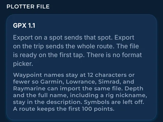
GPX is a common file type that most chartplotters (the GPS map screen on your boat) and boating apps can read. See The Bite writes GPX 1.1.
How to find it
- Tap Export on the trip once it has stops.
- The same Export is on a pin, a fish card, a spot, Saved spots, and Plan.
How to use it
- The share sheet lets you pick Garmin ActiveCaptain, a Simrad or other plotter app, or Files to save to an SD card.
- Export on a spot sends that spot. Export on the trip sends up to the first 100 route points.
- Names stay at 12 characters or fewer so most plotters can read them. The full name, including a rig nickname, stays in the description.
- A route keeps the first 100 points.
- The GPX note in More explains the plotter file.
In the app tour
Tour step 46 of 67 · Boat & export · Export GPX
Tap Export on the trip once it has stops. The share sheet lets you pick Garmin ActiveCaptain, a Simrad or other plotter app, or Files for an SD card. The same Export is on a pin, a spot, saved spots, and Plan. Names stay short for the plotter. The full name, including a nickname, is in the description.
Tour step 62 of 67 · More (settings) · Plotter file
The GPX note explains the plotter file. Names stay at 12 characters or fewer. The full name, including a nickname, stays in the description. A route keeps the first 100 points.
See this step in the full tutorial →
Related
Every layer is included
One subscription opens every layer and feature. Founders get the first year for $80. See ordering and prices or give a year as a gift.
See The Bite is coming to the App Store and Google Play. The store links are not live yet.