
Layer · lines and marks
Currents
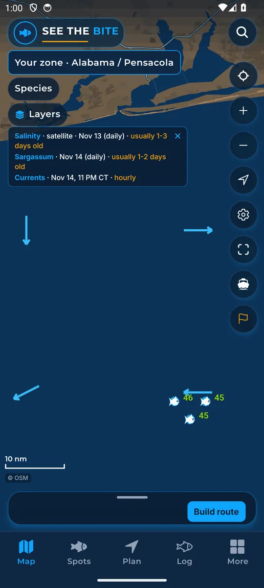
Arrows show which way the surface water is running.
What it shows
Arrows mark where surface water flows, sized to your zoom. They show direction, not a safe boat heading.
Where the data comes from
Open-Meteo Marine hourly ocean model. The sampled points are several miles apart.
How to turn it on
- Tap Layers, then the Currents checkbox. It is the same switch as Currents in More layers.
How to use it
- Look where moving water crosses a ledge or carries bait toward a break.
- Zoom in or out and the arrows resize to fit.
In the app tour
Tour step 16 of 67 · Layers · Currents
Currents draws arrows showing which way the water is running, sized to the zoom. Tap the checkbox. It is the same switch as Currents under More layers.
See this step in the full tutorial →
Related
Every layer is included
One subscription opens every layer and feature. Founders get the first year for $80. See ordering and prices or give a year as a gift.
App Store coming soonGoogle Play coming soon
See The Bite is coming to the App Store and Google Play. The store links are not live yet.