
Sea height
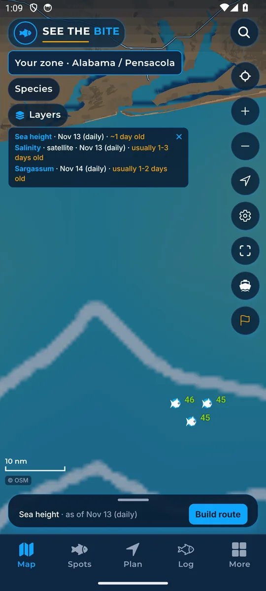
Satellite sea height shows eddies, big slow whirlpools whose edges can gather food.
What it shows
Sea height comes from satellites that measure how high the sea surface is (this is called altimetry). Blue is lower sea level and red is higher. Thin lines mark equal heights. Highs and lows show eddies: big, slow whirlpools of water, often many miles wide.
Where the data comes from
NOAA CoastWatch daily satellite analysis, often a day behind. Check the date shown.
How to turn it on
- Tap Layers, then the Sea height checkbox.
- Sea height (altimetry) is its own picture. It does not replace the temperature field.
How to use it
- Look for edges around spinning water that may gather food.
- Sea height is measured a different way from sea temperature and water color, so it can still show eddies when clouds hide the other pictures.
- The legend strip shows the scale from low to high with its as-of line. Tap the × to tuck it into the trip sheet.
Names in the app: Sea height in the Layers list. Sea height (altimetry) in More layers.
In the app tour
Tour step 19 of 67 · Layers · Sea height
Sea height (altimetry) is its own picture. Tap the checkbox. It does not replace the temperature field.
See this step in the full tutorial →
Related
Every layer is included
One subscription opens every layer and feature. Founders get the first year for $80. See ordering and prices or give a year as a gift.
See The Bite is coming to the App Store and Google Play. The store links are not live yet.